A Life Without Limits
  • Surveying
    • Surveying Roles
      • Overall Breakdown
      • Licensed and Registered Surveyors
    • Specialisations and Related Fields
      • Specialisations
      • Civil Engineering
      • Geospatial Science
      • Hydrography
    • The History of Surveying
    • Technology
      • Surveying Technology
      • 3D Scanning
      • GPS
      • Drones
      • Pokémon and Surveying
      • GDA2020 – Modernising Australia’s Datum
    • Cool Projects
    • Defining Surveying
  • Profiles
    • Meet a Current Surveying Student
    • Meet a Survey Assistant
    • Meet a University Student Project of the Year Winner
    • Meet a Graduate Surveyor
    • Meet a 3D Modeller and Surveyor
    • Meet a Trainee Licensed Surveyor
    • Meet a Newly Licensed Surveyor
    • Meet a Senior Licensed Surveyor
    • Young Surveying Professional of the Year
    • Professional Surveyor of the Year
    • Meet a Senior Lecturer in Surveying
    • Meet a Surveyor General
    • Women in Surveying
  • Study
    • NSW & ACT >
      • Study Pathways
      • Where To Study
      • NSW Scholarships
    • QLD >
      • Study Pathways
      • Where To Study
      • Qld Scholarships
    • SA >
      • Study Pathways and Institutions
    • VIC >
      • Study Pathways
      • Where To Study
      • RMIT Information Portal
    • WA >
      • Study Pathways
      • Where To Study
    • Distance >
      • Distance Education
  • Career Resources
    • Get Kids into Survey
    • Career Resources
  • Experience Surveying
    • Work Experience Placements
    • Try Surveying in Victoria
    • Try Surveying in NSW
  • Job Opportunities
    • Demand for Surveyors
  • Videos
    • Videos About Surveying
    • Surveying With Evan Webster
    • Women in Surveying Day
    • Student Experience Days
  • More Info
    • Blog
    • Ask a Surveyor
    • Is Surveying for Me?
    • Surveying and STEM careers
    • In the News
    • FAQs
    • Contact Us

Blog

Hyperspectral drone surveys capture coral reefs in stunning detail

February 9, 2017Michelle Brooks

Coral reefs and other ecosystems can now be viewed in a whole new level of detail, thanks to new hyperspectral drone cameras developed right here in Australia.

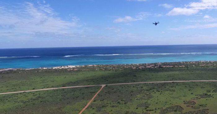
Remote sensing researches from Queensland University of Technology recently debuted their world-leading miniature drones at Ningaloo Reef in Western Australia, capturing ultra high resolution images so detailed that they could identify coral species, algae and sand. The drones surveyed around 40 hectares of the reef at 100m above ground in just 30 minutes.

Normal cameras only capture red, green and blue on the light spectrum, whereas hyperspectral cameras allow for 270 bands of the spectrum and a spatial resolution of approximately 15cm per pixel. This outstrips the USA’s CORAL system which takes images at a resolution of 7.5m per pixel.

This level of detail means different objects leave a hyper spectral signature or fingerprint that allows researchers and scientists to monitor ecosystems for environmental changes. This is particularly important with the current threat faced by our coral reefs.

“We’re building artificial intelligence algorithms that can automatically recognise and classify these unique signatures – the hyperspectral equivalent of a police ‘fingerprint database’, said Project leader Associate Professor Felipe Gonzalez.

The data is being used to develop software that analyses the data from Ningaloo Reef remotely. Professor Gonzalez and his team’s next goal is to creating housing that allows the camera to be operated underwater via marine robots.

Watch the video below to find out more about this exciting project.

Source: Drones go hyper spectral to expose Ningaloo Reef in new detail, Spatial Source, 1st February 2017

Previous post Surveying leads to significant historical discovery Next post Where STEM studies can take you

Leave a Reply Cancel reply

Your email address will not be published. Required fields are marked *

Contact Us

New South Wales
T: (02) 9054 6867

Queensland
T: (07) 3321 1622

South Australia
T: (08) 8212 0343

Western Australia
T:  0424 177 510

Victoria
T: (03) 9690 6660

News

  • Explore the RMIT Geospatial Sciences Tour
  • Surveyors Making a Mark at Walt Disney World
  • A Return to Campus Surveying
  • How Surveying Mapped Out Our Capital

Pathways

  • Study Pathways – NSW
  • Study Pathways – QLD
  • Study Pathways – SA
  • Study Pathways – VIC
  • Study Pathways – WA

Join us

© Copyright 2020. A Life Without Limits | Surveying Task Force Inc.