
There are many specialisations within surveying you can choose from, depending on your interests and whether you want to work in the city, country or coastal areas.
Land
Land surveyors, also known as cadastral surveyors, determine and advise on property boundaries when land is subdivided, bought or sold. Cadastral surveyors need to hold a special license as their findings determine the status of land ownership.

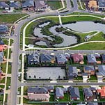
Seabank Estate – Barwon Heads
The Seabank Estate is a residential subdivision located in Barwon Heads. The challenge of this project was to create a site that is a sustainable living environment. Prior to the commencement of the project, the site did not have an outfall for drainage which posed a threat to the conservation of wildlife and vegetation. Surveyors assisted in creating an open space for storm water retardation and as a holding area for the water to be pumped down to the Barwon Heads Golf Course, where water is stored in a reservoir and used for irrigation purposes.

Eureka Tower
Surveyors were a key element in the Eureka Tower project. Their skills and expertise were required in the initial land survey of the site, identifying title boundaries and the location of features on and adjacent to the site. Surveyors were able to work in stages, so that the lower levels in the tower could be occupied while the upper levels were being constructed. With multi-usage areas in the tower being occupied by retail, residential apartments and a car park, it was a challenge for surveyors working on the project to ensure all could operate effectively without hindrance.
Engineering
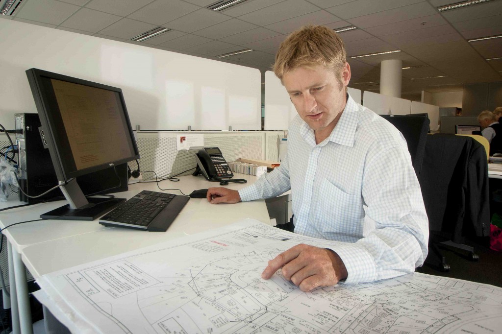
New freeway systems, bridges and high-rise buildings all need precise planning. Engineering surveyors ensure they are built in the exact location to exact specifications.

Monash Citylink
Stretching over 37.5km in length, Melbourne’s Monash City-Link Westgate Freeway was one of the many projects that surveyors played a key role. More than 500,000 survey points were measured by surveyors over the course of the project. The $1 billion upgrade to Melbourne’s busiest route is designed to increase traffic capacity, reduce peak period travel times and improve safety by reducing the number of casualty crashes by 20%.
Mining
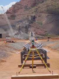
Mining surveyors design and measure mines, tunnels and other underground works. They are also integral in the exploration for new resources. Mining surveyors are generally paid more than the average surveyor, due to the remote location of their work.
Latrobe Valley Mines
Yallourn coal mine and power station is located in Latrobe Valley, 150km east of Melbourne. The power station supplies approximately 22% of Victoria’s electricity and 8% nationally. Surveyors were responsible for 3D modelling of coal faces, survey and management of underground service data, structural surveillance monitoring of open and cut mine faces, and design.
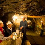
Gold Mine – Walhalla
Surveyors were a key element in providing detailed topographic surveys when mapping the old and existing mine sites in Melbourne’s Walhalla gold mine. Located 180km into Melbourne’s East Gippsland region, the Walhalla gold mine is currently in an exploration and bulk sampling phase, prior to full-scale underground mining. Surveyors will assist in drilling rig placements in the goldfield and setting out blast grids. They’ll also be mapping the old and current underground workings to develop geological data, internal processing and data presentation for the project.
Hydrographic
Hydrographic surveyors map the sea floor and other waterways. These surveyors work in coastal areas and overseas.
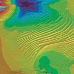

Great Barrier Reef
Surveyors conducted a spatial study of the seabed environments in the Great Barrier Reef marine park for clues about the sources of sediments and reef habitats in our eco system. This will help marine park managers monitor changes in the seabed’s habitats. It will also assist stakeholders make informed decisions to protect one of Australia’s world heritage areas.
Environmental Projects
Surveyors are integral to sustainable development and environmental projects as they measure the change in geographic information
Antarctica
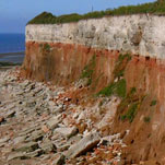
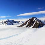
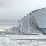
Australia has the responsibility to monitor 42% of the Antarctic region. Surveyors are involved in measuring the intra-plate movement and how quickly Australia is moving away from Antarctica. Surveyors installed precision GPS equipment at many sites across Antarctica. Over a period of time the data collected will assist in understanding whether Antarctica is a single stable body or if the landscape is changing over time. Surveyors collect GPS positioning data, to form the basis of climate change studies.
Polar Caps
Surveyors were on the frontline when surveying the surface of the North Pole arctic ice cap. Surveyors captured detailed and accurate data including the thickness of the ice cap to enable scientists to predict the rate of meltdown. Skilled surveyors were required to physically survey the ice cap, which otherwise were unable to be captured by satellite and submarines. The results collected will assist governments all over the world to pre-plan for the consequences of meltdown of the North Pole ice cap.
Geodesy
Geodesy is a science of the measurement and mapping of the earth’s surfaces. Surveyors in this field track rising sea levels, measure earthquakes and continental drifts using instruments like GPS, laser technology and electronic distance devices to measure global parameters and locate positions accurately on the earth’s surface for global mapping, research and natural disaster prevention studies.

Topographic
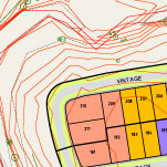
Topographic Surveyors measure elevation points on land and the environment. Topography is related to cartography and mapping, which involves plotting points as contours of the earth’s surface including; valleys, rivers and lakes on a map by making field measurements and taking aerial photographs to develop maps.
Remote Sensing
Surveyors monitor changes on the earth’s surface using satellites and other digital technologies to monitor for trends in the environment. The data collected by surveyors are then used for research and emerging environmental studies. Surveyors in this field are involved in creating maps for Google Earth and Street View technologies.
GIS
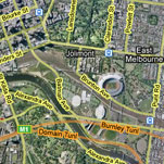
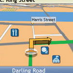
Geographic information systems are used widely for planning decisions. A surveyor in this field is involved in the visualisation, design and development of data content for online and mobile phone mapping and navigation. In-car navigation systems use maps that are provided by the work of surveyors.
Archaeology
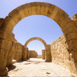
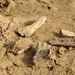
Surveyors work with archaeologists to define the parameters of an archaeological search area and mapping out locations to identify points to excavate for objects, artefacts, human remains and cultural heritage land.
Aboriginal Artefacts
European surveyors and indigenous Australians have been interacting with each other since not long after the arrival of the First Fleet. Today, surveyors have a defining role to play through mapping areas for native land title claims and working closely with archaeologists to identify where cultural heritage is likely to occur before any development on the land can take place. Cultural heritage is protected by state and federal legislation, and includes Aboriginal places, objects and human remains.
Forensics
Surveyors are used to provide information for special investigations and crime scenes. For example, after human remains were found in the Belangelo State Forest in NSW’s southern highlands, surveyors were called. They aided the investigation of what became known as the so-called ‘Backpacker Murders’, making their work instrumental in convicting Ivan Milat.