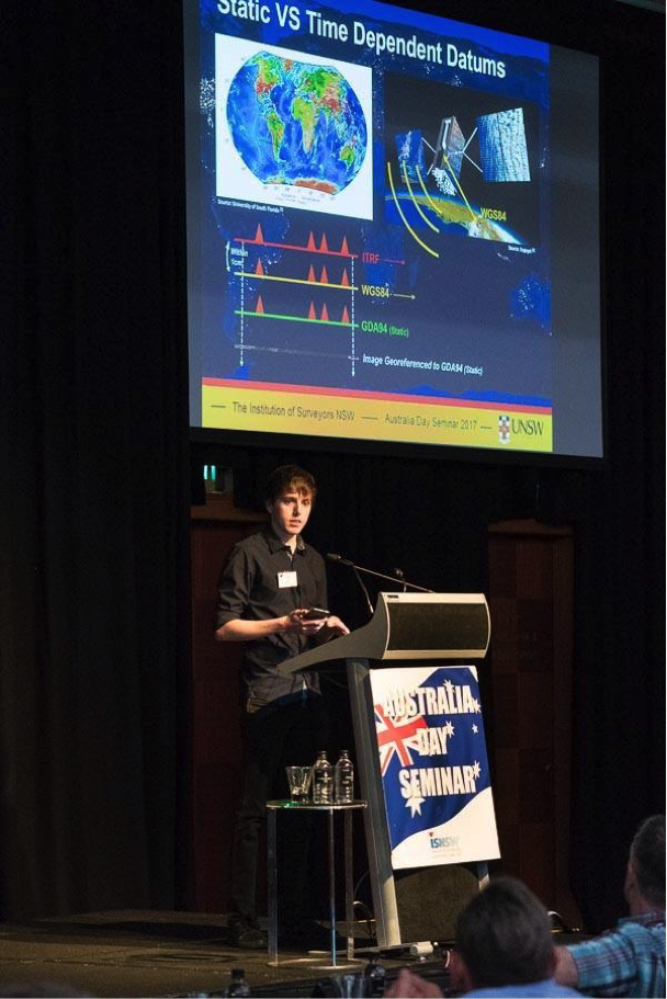
Aaron Faull
Survey Assistant
Employer
RPS Group
Length of time working in surveying
Fourteen months
Qualifications (completed and/or studied)
Bachelor of Engineering (Honours) (Surveying), University of NSW
Employer
RPS Group
Length of time working in surveying
Fourteen months
Qualifications (completed and/or studied)
Bachelor of Engineering (Honours) (Surveying), University of NSW

I was always very conscious of how things fit together around me and how everything has its own place in the world. The study of spatial sciences allowed me to develop a more in-depth, practical understanding of measurement to determine and ensure objects’ relative positions accurately and work together as a system. The idea of one day being an expert in a specific field which in numerous ways underpins a variety of fundamental infrastructure in society is very important to me.
Originally, I was unaware of the surveying industry until introduced during my university studies, and would like to thank the enthusiastic Surveying and Geospatial Engineering staff of UNSW for inspiring me to continue along this path.
As a surveying assistant I currently work alongside more experienced surveyors on projects, further developing the skill set I will need to become a field-party leader myself and/or work on projects independently in the future.
Depending on the size of certain projects, jobs can take as little as a day or a number of years to fully complete, with specific tasks changing as the project develops. Projects always start off with an overview of the scope as a group and briefing discussions into how the job should be undertaken, mentioning possible constraints which need to be considered. These meetings will reoccur during the project to keep everyone up-to-date with how things are progressing.
Also, depending on the type of job, the use of modern surveying equipment such as total stations, differential GNSS, digital levels or 3D laser scanners will be utilised to collect the spatial information necessary. While much of the modern instruments have built in data recording, to ensure as much quality assurance as possible, the metadata and certain observations are also recorded by hand in the field. Along with taking images of site, this type of information is very useful to processing later in the office.
Once field work is completed data processing and plan development is undertaken at the office. Tasks such as reducing and performing adjustments of survey data, combining points cloud scans into full 3D models, developing CAD plans and reports are all completed and produced for the clients.
Recently I have been a part of projects involving surveying the existing design of parts of large skyscraper buildings in Sydney’s CBD. Certain aspects of the designs will be changed and so knowing the current layout of existing features is essential. For these projects the use of 3D laser scanning technology was utilised to create millimetre level accurate 3D models of the structures.
These projects were my first exposure to operating 3D laser scanners. I found the technology incredibly interesting and was amazed at its ability. Both magnetic and paper printed targets were placed around the area in locations dense enough to have at least three targets visible to each station set up, ensuring the proper registration of scans.
After around 15 scans the area was completely covered by the scanner. To transform the coordinates onto MGA the targets were then coordinated using a total station, which connected to local SCIMS control marks outside the site.
Generally, projects can have unforeseeable constraints which need to be overcome. Line of sight obstructions when using total stations or objects that were not on plans used when designing a survey can often cause you to re-think your strategy on how to get the job done. But considering the variety of tools at a surveyor’s disposal, these problems become more and more easily solved on the fly with previous experience.
I have not yet begun the process involved with registration, however I am definitely considering becoming registered for the future of my career. Once becoming registered I would have the means to be exposed to a side of projects I would not normally be involved in and have the expertise necessary to legally sign off on plans. I believe this would be a great progression within my future career as a surveyor.
Surveying is one of those careers that I believe doesn’t have as much exposure as it deserves. It allows you to use cutting-edge technology like UAVs and laser scanners for professional purposes to contribute to what can be very large scale projects.
Surveying is a profession that doesn’t just confine you to a desk all day, or mean that you are only working outside either — it gives you a variety so nothing ever begins to feel stale. You will always be working in new environments developing your expertise in a field that often others wouldn’t know much about. It has great career progression and often feels very rewarding physically seeing finished products of projects you actively contributed towards.
During my short 14-month career so far, I have worked in a variety environments, including dense bushland, urban streets, private houses, public schools, large skyscraper buildings, harbour side and industrial factories.
The variety that comes with each day. Different locations doing different types of surveys depending on the job makes sure that I never get bored with what I’m doing. Getting exposed to and using specialised technology to complete a job is always very satisfying, and I look forward to continuing my career as a surveying professional.