
Surveying, a crucial aspect of civil engineering and land management, encompasses various specialized fields. Two of the most fundamental ones are land surveying and geodetic surveying. While both involve the measurement and mapping of the Earth’s surface, they differ in scope, precision, and purpose.
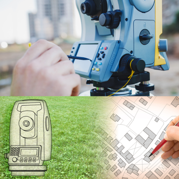
Land surveying, often referred to as cadastral surveying, primarily focuses on smaller areas, like parcels of land, buildings, and construction sites. It provides accurate and precise measurements for property boundaries, land development, and infrastructure design. Land surveyors use various instruments, including total stations and GPS devices, to map out specific locations, distances, and elevations within a limited area.
On the other hand, geodetic surveying takes a global perspective. It deals with the measurement and mapping of large-scale features on the Earth’s surface, often involving continents or entire countries. Geodetic surveyors use advanced equipment, like satellite-based systems, to determine the Earth’s shape and size. This information is critical for applications such as cartography, GPS positioning, and understanding continental plate movements.
In summary, land surveying is focused on small-scale, local measurements for property and construction projects, while geodetic surveying deals with large-scale, global measurements that shape our understanding of the planet’s size and movement. Both are indispensable for different applications, each with its unique role in our ever-evolving world. To take a closer look at the specialisations and related field to surveying, read on here.
